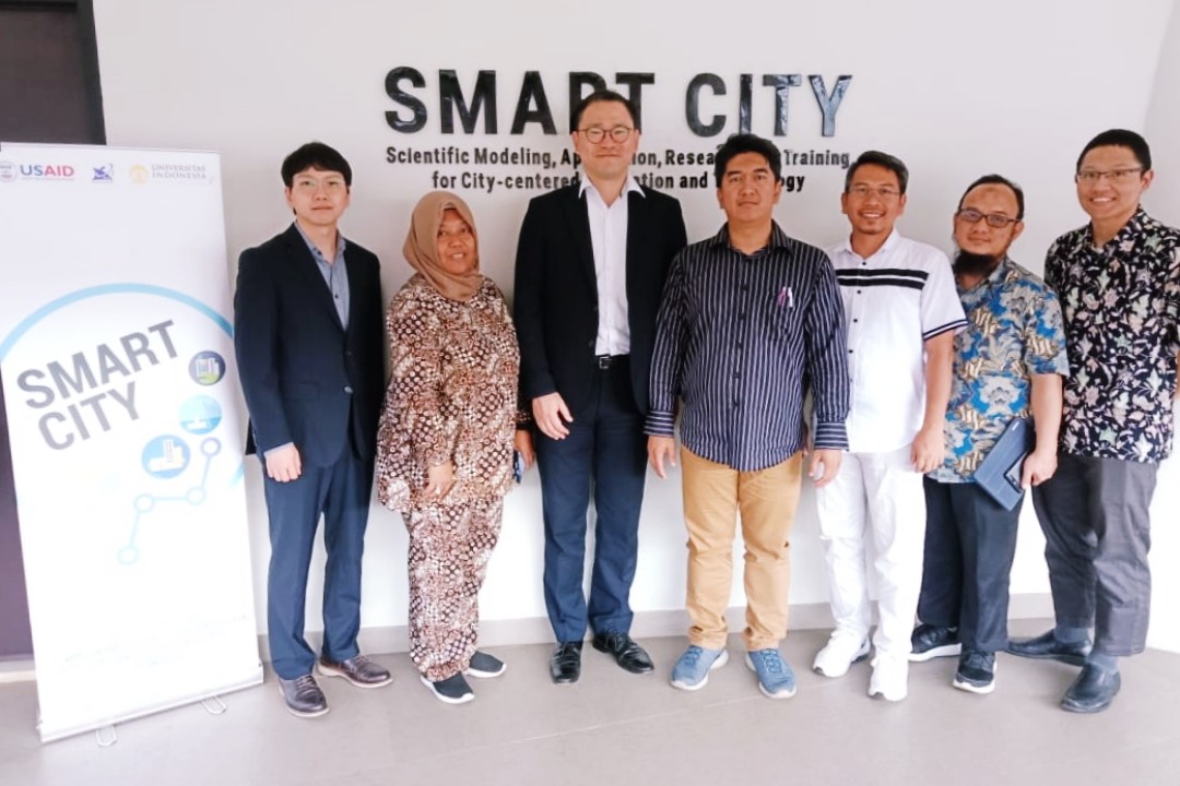
SMART CITY Universitas Indonesia is currently developing a Smart Land Surveillance System (SLSS). The development of SLSS is in the form of a research project on urban architectural typology for software based automatic building identification using Light Detection and Ranging (LiDAR).
This prototype development project has gone through a long development process. Since 2016, SMART CITY has started to conduct a literature review and identify the urgency of technological demands in the urban context for monitoring and extensification of regional tax objects. In 2017, the team found other findings related to conventional methods for land use monitoring. The research then continues to reveal the results of an urgency of a land monitoring automation system by utilizing Information, Communication and Technology (ICT), including the use of machine learning.
Furthermore in 2017, SMART CITY focused on the development of Network software and on a framework for leveraging ICTs to monitor land use and tax rates. This work was continued with the finalization of software development in 2019. Moreover, in 2020 SMART CITY developed a LiDAR drone model with Artificial Intelligence (AI) as a preliminary stage, and a prototype pilot project in Depok City. Meanwhile, for 2021-2023, SMART CITY develops an advanced LiDAR drone model with artificial intelligence (Mock Up SLSS version 2.0), builds automatic violation identification features in the Geographic Information System (GIS) to increase property taxes value and approach to hearing process to central and local government.
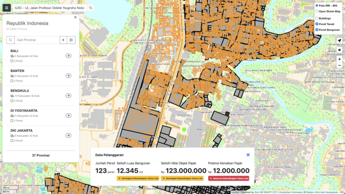
This far, the research has produced a prototype of an integrated urban information system application website that is ready to be used by local governments; which is in this case, a regional employment agency, Depok City. This system contains urban Geographic Information System (data, property, taxes, building permits, and other data related to land and area development). With this system, the government can accurately detect development violations that are not following applicable regulations.